X
Comments to #17
All comments (X)
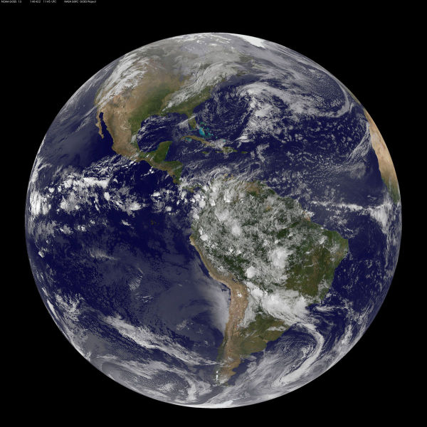
Satellite View of the Americas on Earth Day
NOAA’s GOES-East satellite captured this stunning view of the Americas on Earth Day, April 22, 2014 at 11:45 UTC/7:45 a.m. EDT. The data from GOES-East was made into an image by the NASA/NOAA GOES Project at NASA’s Goddard Space Flight Center in Greenbelt, Md.
