X

Comments to #20
All comments (1)
0


1.

Delpha 4 year s ago
They dated the Shroud from a repair in the 1300's not a piece from the original Shroud. Why is it that the image on the Shroud has his wrist pierced when all the icons and pictures show the images as having the palm pierced.
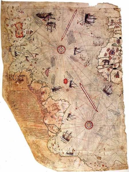
The Piri Reis Map
The Piri Reis Map is the oldest map to show the Americas, dating back to 1,513 CE. Deriving from Turkey, the map is truly astonishing because it shows details of America that no one could have known back then. Some question the validity of the map, while others think it’s extraterrestrial in nature.
