X

Comments to #16
All comments (1)
0


1.
salamoon 6 year s ago
#15 that "any snow" criterium is funny....
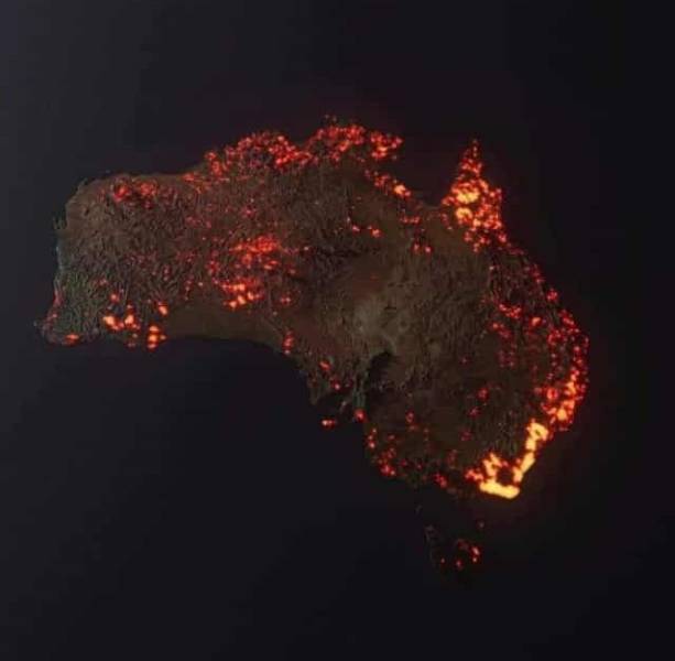
“3D “visualisation” of the fires in Australia, made from NASA satellite data. These are all the areas which have been affected, but not all the areas are still burning.” Credit ~ Anthony Hearsey – Creative Imaging
