Picture Maps (45 pics)

Posted in PICTURES       21 Oct 2010       8289       5 GALLERY VIEW

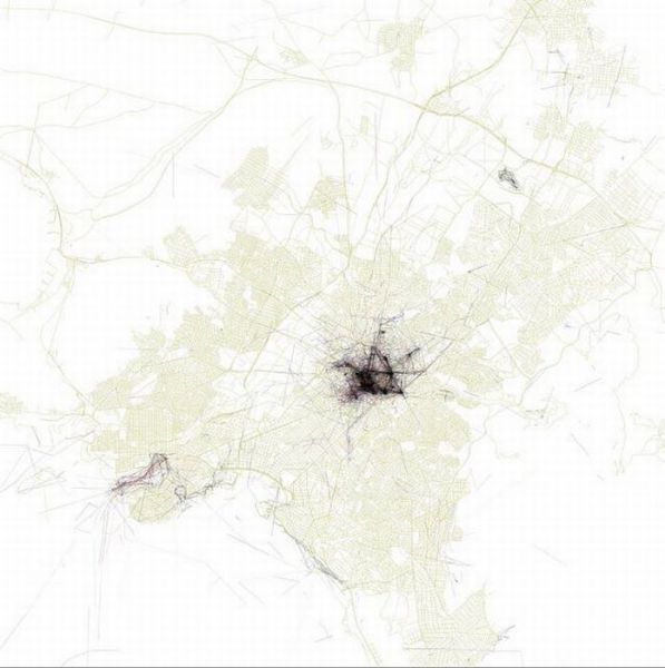
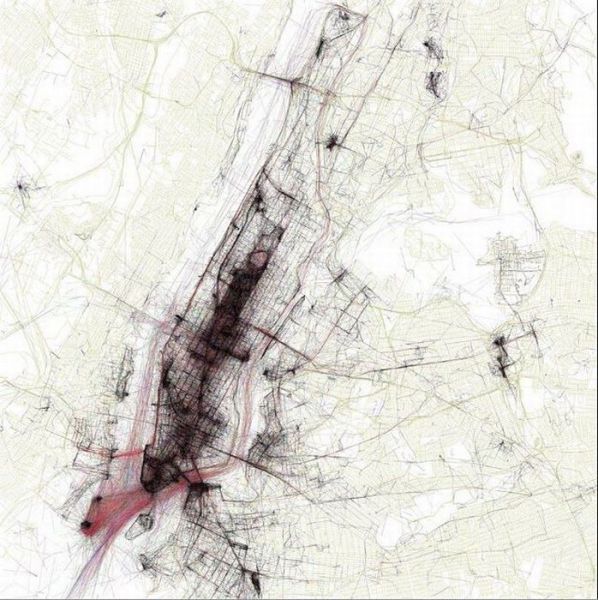
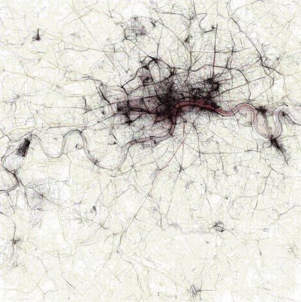
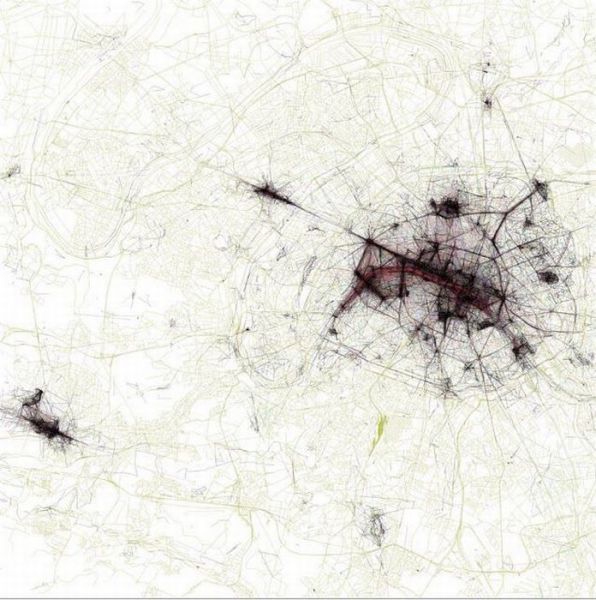
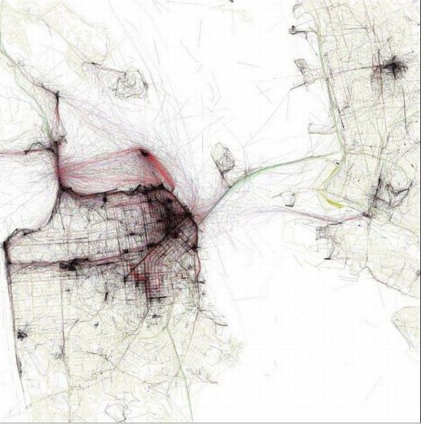
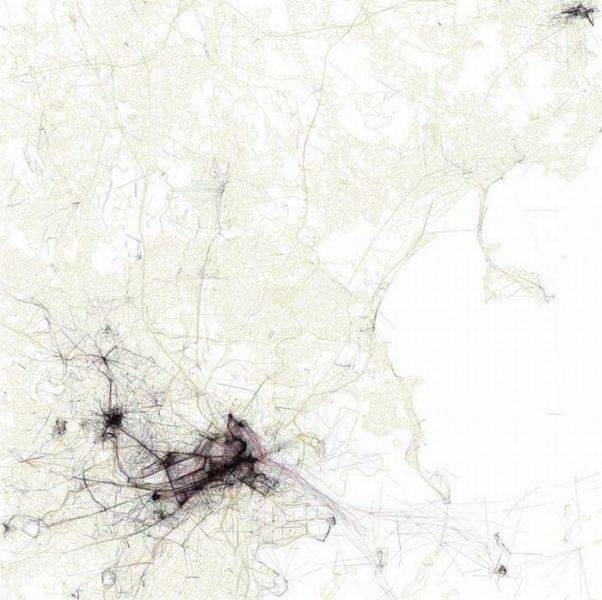
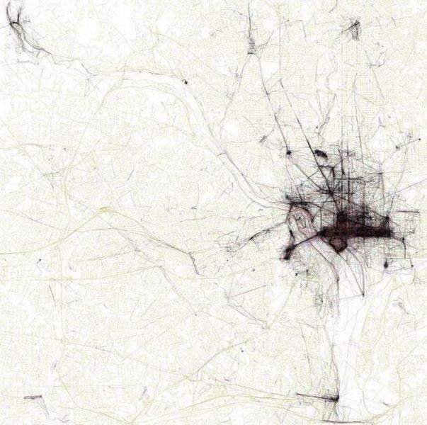
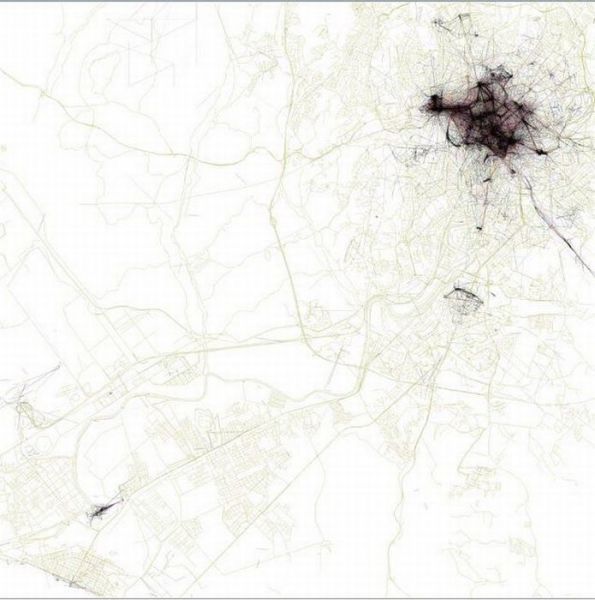
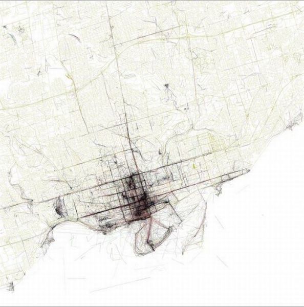
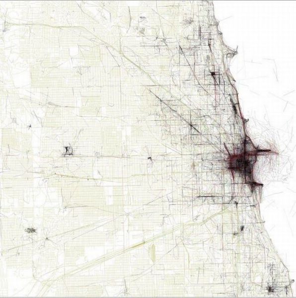
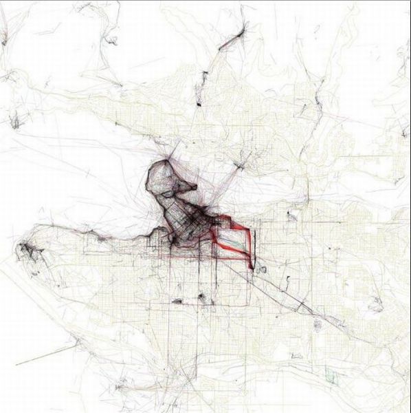
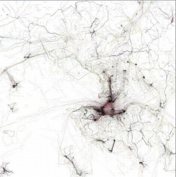
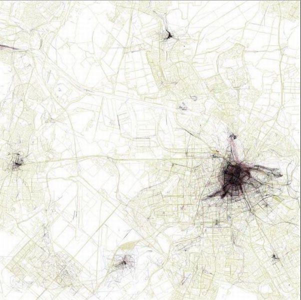
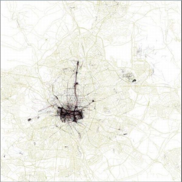
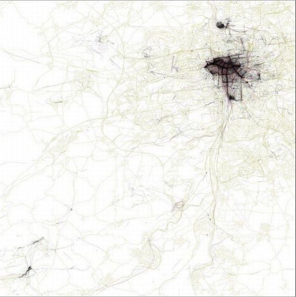
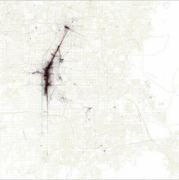
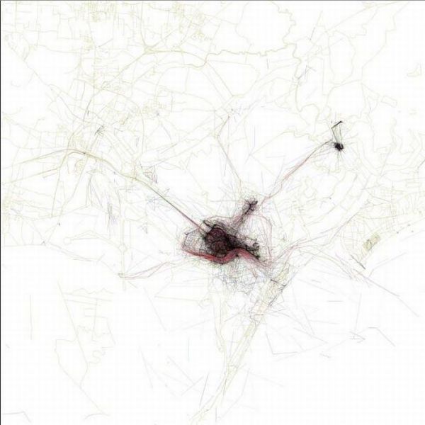
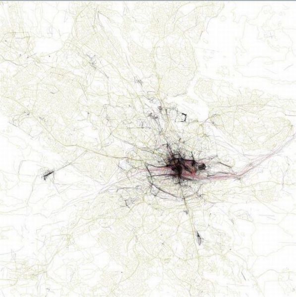
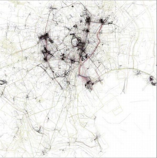
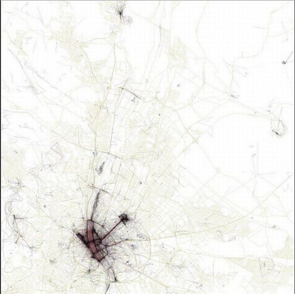
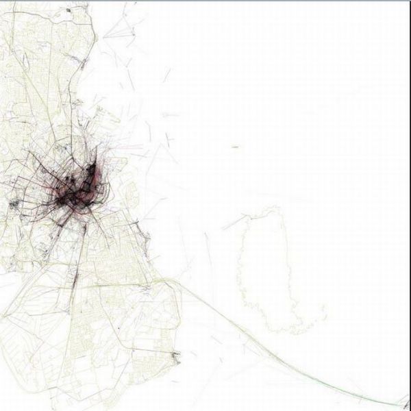
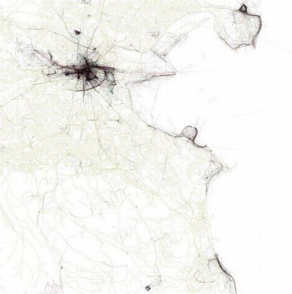
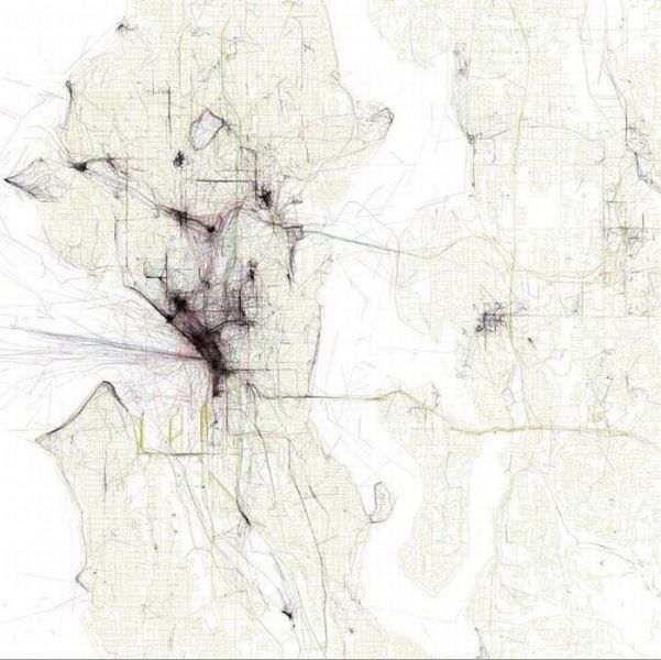
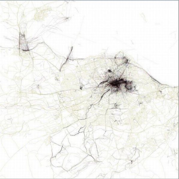
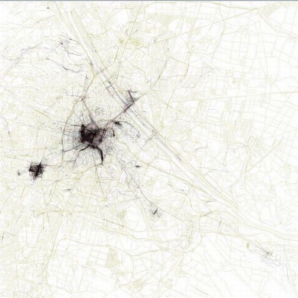
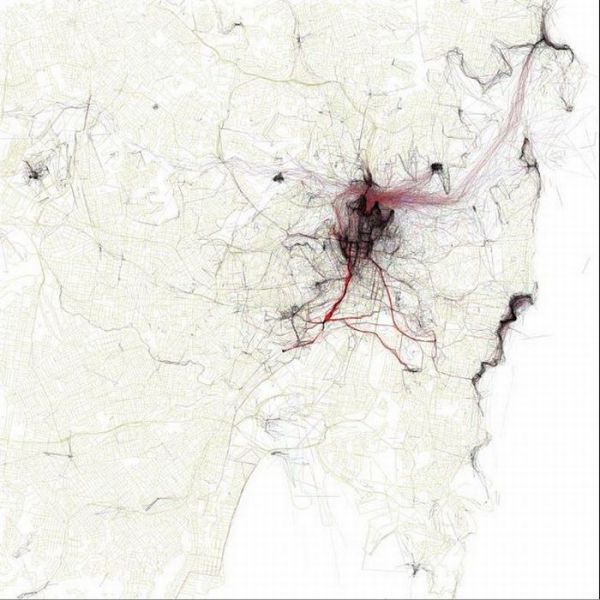
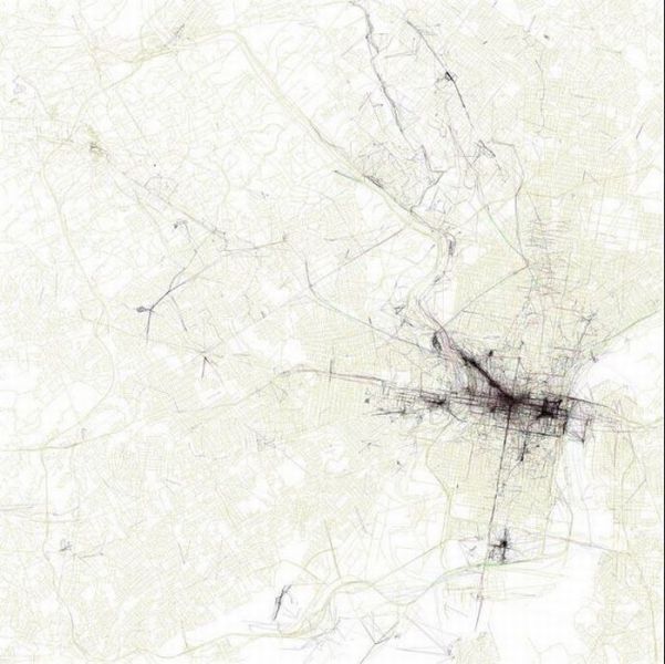
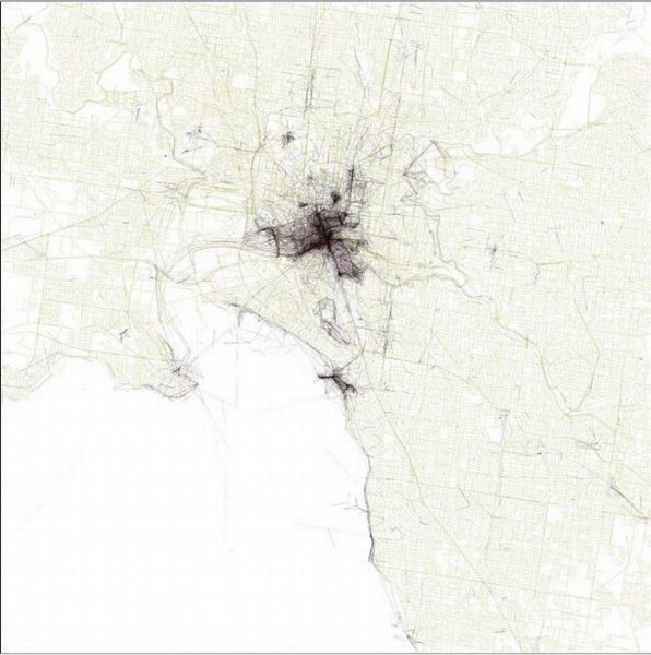
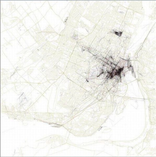
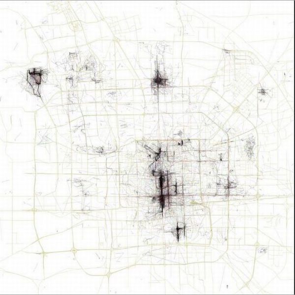
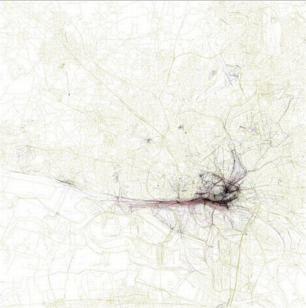
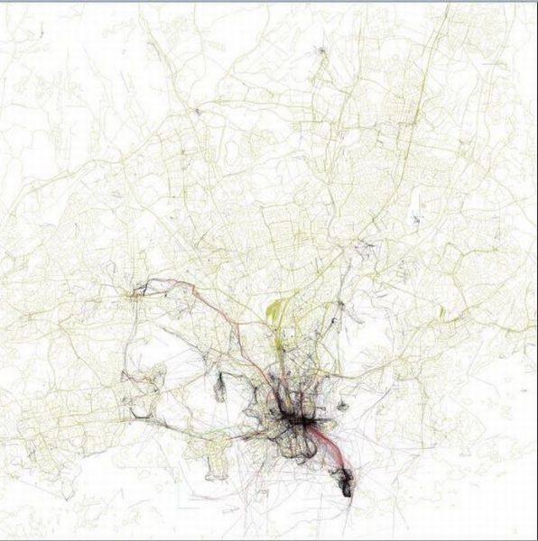
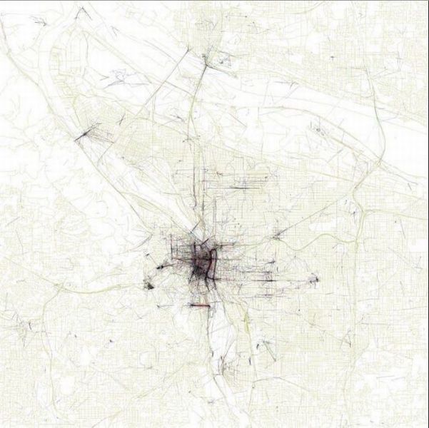
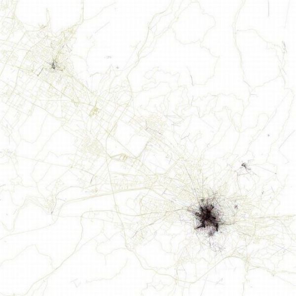
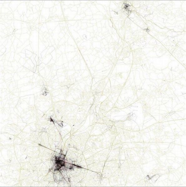
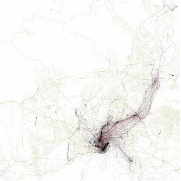
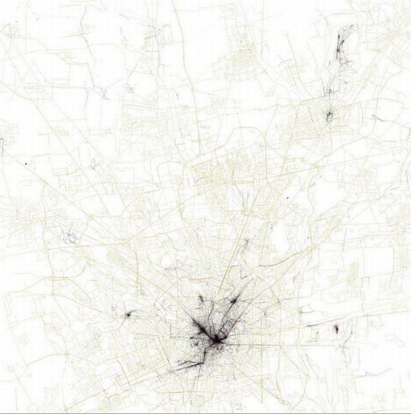
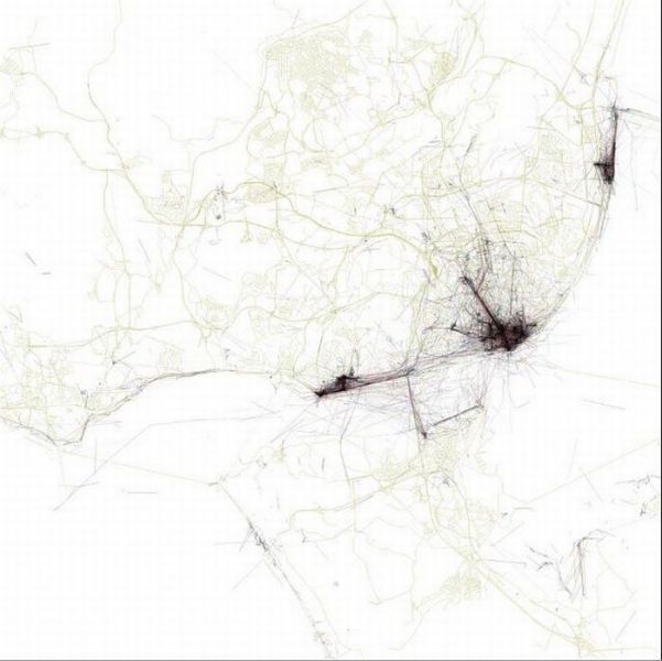
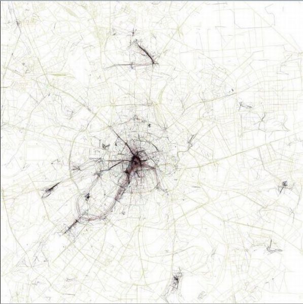
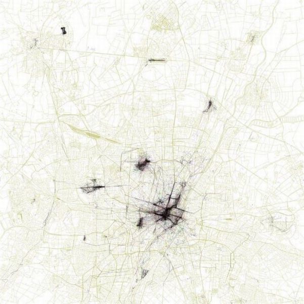
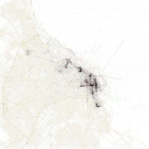
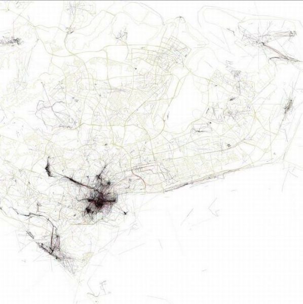
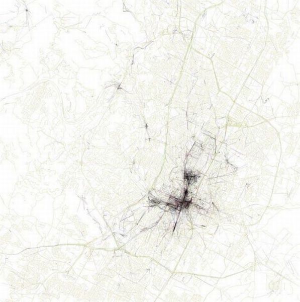
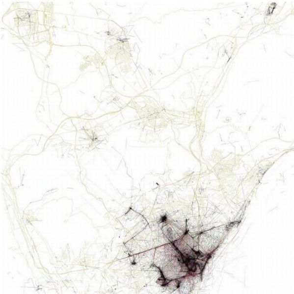
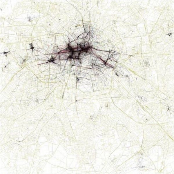
These are aerial maps of various large cities. What is interesting about them is that they are taken in accordance with the number of photos that were taken by tourists. The most black color in the photos represent where the most photos were taken.


Athens 

New York 

London 

Paris 

San Francisco 

Boston 

Washington, DC

Rome 

Toronto 

Chicago 

Vancouver 

Hong Kong 

Amsterdam 

Madrid 

Prague 

Las Vegas

Venice 

Stockholm 

Tokyo 

Budapest 

Copenhagen

Dublin 

Seattle 

Edinburgh 

Vienna 

Sydney 

Philadelphia 

Melbourne

Montreal 

Beijing 

Hamburg 

Helsinki 

Portland 

Florence 

Brussels 

Istanbul 

Milan 

Lisbon 

Moscow 

Munich 

Buenos Aires

Singapore 

Austin 

Barcelona 

Berlin 


Advertisement


5   Comments ?
0
1.
kaykay 14 year s ago
whats the source? thats a cool project!
thanks for showing
       
1
2.
Fenrisulven 14 year s ago
I also want to know the source for this project. Is it based on the Panoramio photo layer in Google earth?
       
0
3.
jajabings 14 year s ago
yep, a source would be really cool....
       
0
4.
GOODSTUFF4U 14 year s ago
yeah a source would be good

like the Singapore graph


did a google thing
They know by the Geo-tags that get attached to most digital pictures now. I think this was a flicker project.

http://www.flickr.com/photos/walkingsf/sets/72157624209158632/

Some people interpreted the Geotaggers' World Atlas maps to be maps of tourism. This set is an attempt to figure out if that is really true. Some cities (for example Las Vegas and Venice) do seem to be photographed almost entirely by tourists. Others seem to have many pictures taken in piaces that tourists don't visit.

Blue points on the map are pictures taken by locals (people who have taken pictures in this city dated over a range of a month or more).

Red points are pictures taken by tourists (people who seem to be a local of a different city and who took pictures in this city for less than a month).

Yellow points are pictures where it can't be determined whether or not the photographer was a tourist (because they haven't taken pictures anywhere for over a month). They are probably tourists but might just not post many pictures at all.

The maps are ordered by the number of pictures taken by locals.
       
0
5.
Afonso 14 year s ago
Photographer Eric Fischer, google it
       
27353641acute
belayclappingdance3dashdirol
drinksfoolgirl_craygirl_devilgirl_witch
goodgreenheartJC-LOLJC_doubledown
JC_OMG_signkisslaughingman_in_lmocking
mr47_04musicokroflsarcastic
sm_80tonguevishenka_33vomitwassat
yahooshoot
/*secupdate
Advertisement


Advertisement


Advertisement

Archives

2023
2022
2021
2020
2019
2018
2017
2016
2015
2014
2013
2012
2011
2010
2009
2008
0000
Advertisement


How to comment

•    Don't insult other visitors. Offensive comments will be deleted without warning.

•    Comments are accepted in English only.

•    No swearing words in comments, otherwise such comments will be censored.

•    Your nickname and avatar are randomly selected. If you don't post comments for 7 days, they both are reset.

•    To choose another avatar, click the ‘Random avatar’ link.

random_banner_1